The Camera Mapping System: Linking Physical Space to Surveillance Infrastructure
Security teams respond faster when they know exactly what camera covers what.
Security incidents don't wait for you to find the right camera.
An officer responding to a report in Loading Bay 3 needs to pull footage immediately — not in five minutes after calling the person who remembers the installation layout. That gap between incident and footage is where evidence degrades, responses slow down, and liability claims get harder to defend.
Every commercial security operation has this problem. There's a camera system, and there's the physical space it covers — and the map between them lives in someone's head, or a binder from four years ago.
What it does
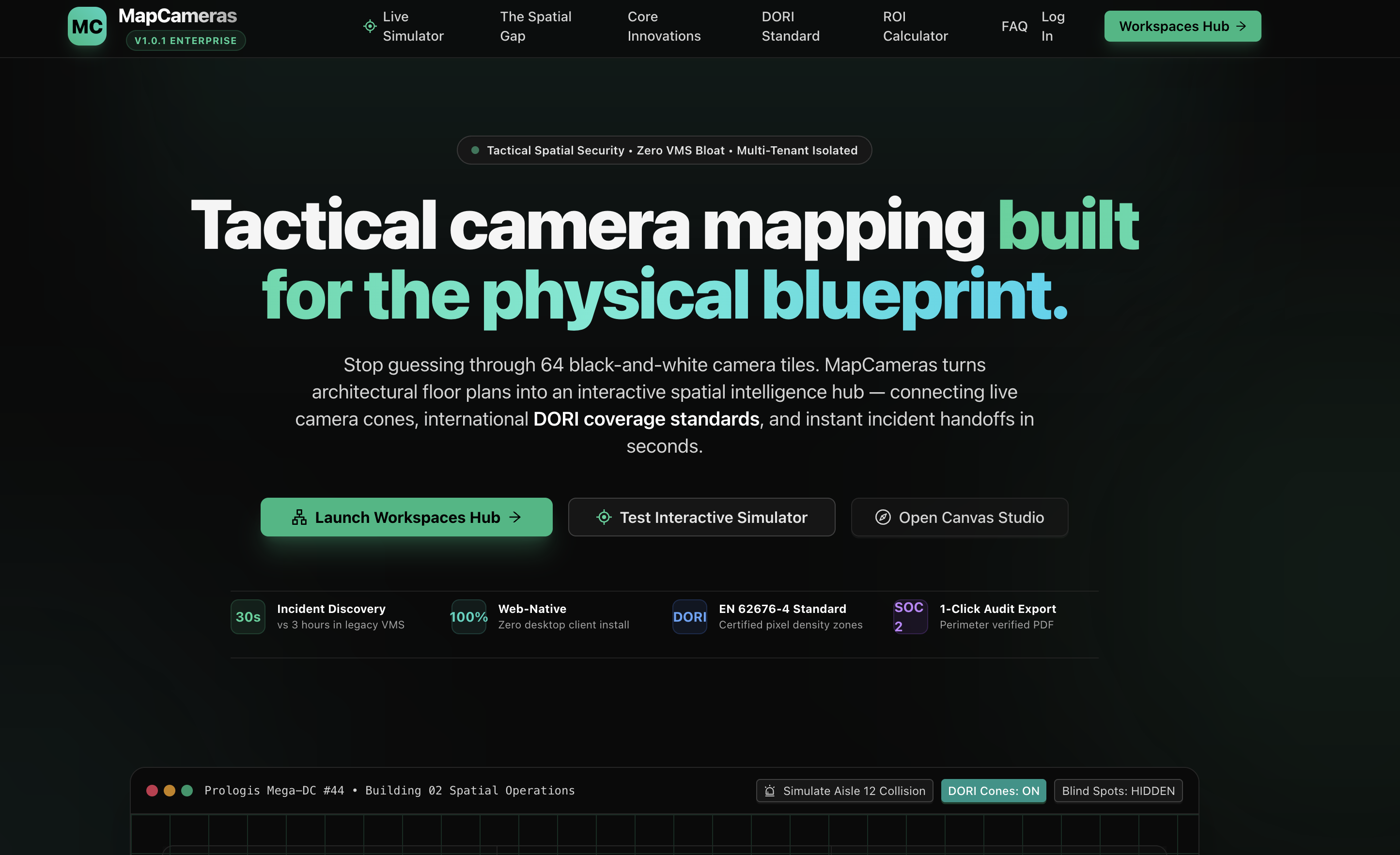
The Camera Mapping System links your camera inventory directly to interactive floor plans. Each camera is pinned to its exact physical location, tagged with its field of view, and connected to the monitoring station it feeds.
When something happens, you pull up the map, click the zone, and know instantly: which camera has it, what angle, and who's watching it live. No phone calls. No binder. Under 10 seconds from report to footage.
The compliance angle most teams don't think about until it's too late
OSHA investigations, premises liability claims, and insurance disputes all ask the same question: what surveillance coverage existed at the time of the incident?
"We had a camera somewhere near there" is not a defensible answer.
The system generates camera coverage reports by zone — what cameras were active, what they covered, when. That documentation doesn't live in a filing cabinet. It travels with the claim, automatically, in the format investigators actually ask for.
Who built it and why
This came out of direct operational work with a multi-site security organization. The gap wasn't technical — the cameras existed, the monitoring systems existed. The gap was documentation. Nobody had built the connective tissue between physical space and surveillance infrastructure in a way that non-technical officers could actually use under pressure.
The interface is minimal by design: a map, pins, and a search bar. The operational environment doesn't allow for training time. If it takes more than one minute to learn, it won't get used.
See it live
The system is running in a production security operation — real facilities, real camera inventories, real incidents.
→ View the live demo at mapcameras.vercel.app
If you manage a security operation, facilities team, or loss prevention program and want to talk about what this looks like for your sites, reach out.